What Three Words: ///uncouth.optimally.glad
OS Grid Reference: SX103605
Once a major part of Lostwithiel’s industrial history, only remnants are now visible.
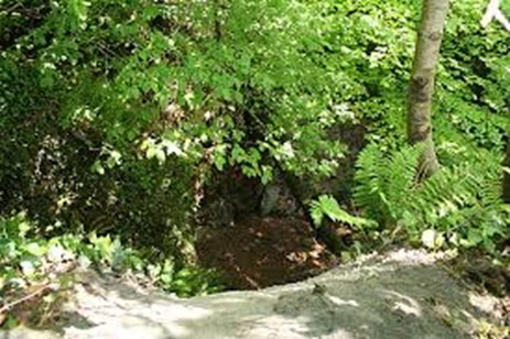
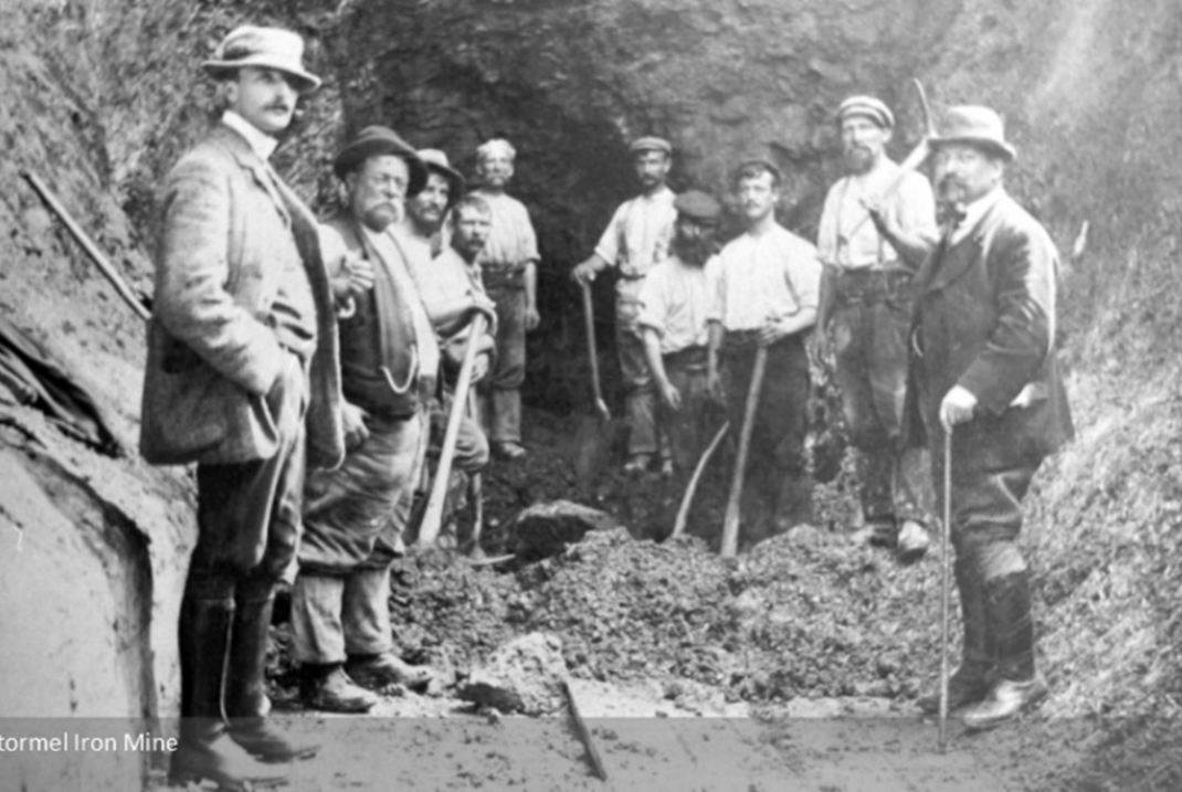
The yard and entrance to the mine can be found just before what is now the Lostwithiel bowling green. Still visible are a path leading from a barred gate and the cleared area that was the yard of the iron works. The mine opened in approximately 1790, to mine the high-quality haematite iron ore which was exported from Lostwithiel, probably to South Wales for smelting. Known as Trinity Mine until 1836, it was one of Cornwall’s biggest producers of iron in the 19th century. It became known as Restormel Iron Mine in 1836, and after a royal visit in 1846 it was renamed the Royal Restormel Iron Mine. The entrance used by the miners and where a tramway entered to carry the ore away to the town quays is shown in the photograph below, but is now completely blocked and overgrown. The yard opposite the mine entrance contained a cluster of three or four buildings where equipment was stored and some dressing of the ore was carried out.
The blocking of the entrance in 1909 and the blocked entrance today
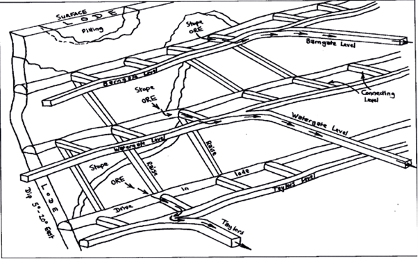
The mine comprised three levels or adits. Taylor’s Level, named after the mining engineer and mining agent to the Duchy, Richard Taylor, was the lower level. Above this was the Water Gate Level, and at the top the Barn Gate Level. The mine covered a depth of 137 metres from the top of the hill. All three levels could be worked to follow a lode that runs approximately north to south across the land from Woodlands Farm to Bodardle Farm. Some ore was extracted by open-cast working. At its peak the mine employed 120 miners. It produced an average of 4,500 tons of ore annually over most of its productive lifetime. It closed in 1883.
The horse-drawn tramway comprised a complex of lines, some of which are still visible. The main line of the tramway ran from the entrance and yard along the length of Restormel Road, immediately above the hedgerow, and into town to the yard that is now the Cattle Market Car Park, and on to the Town Quays.
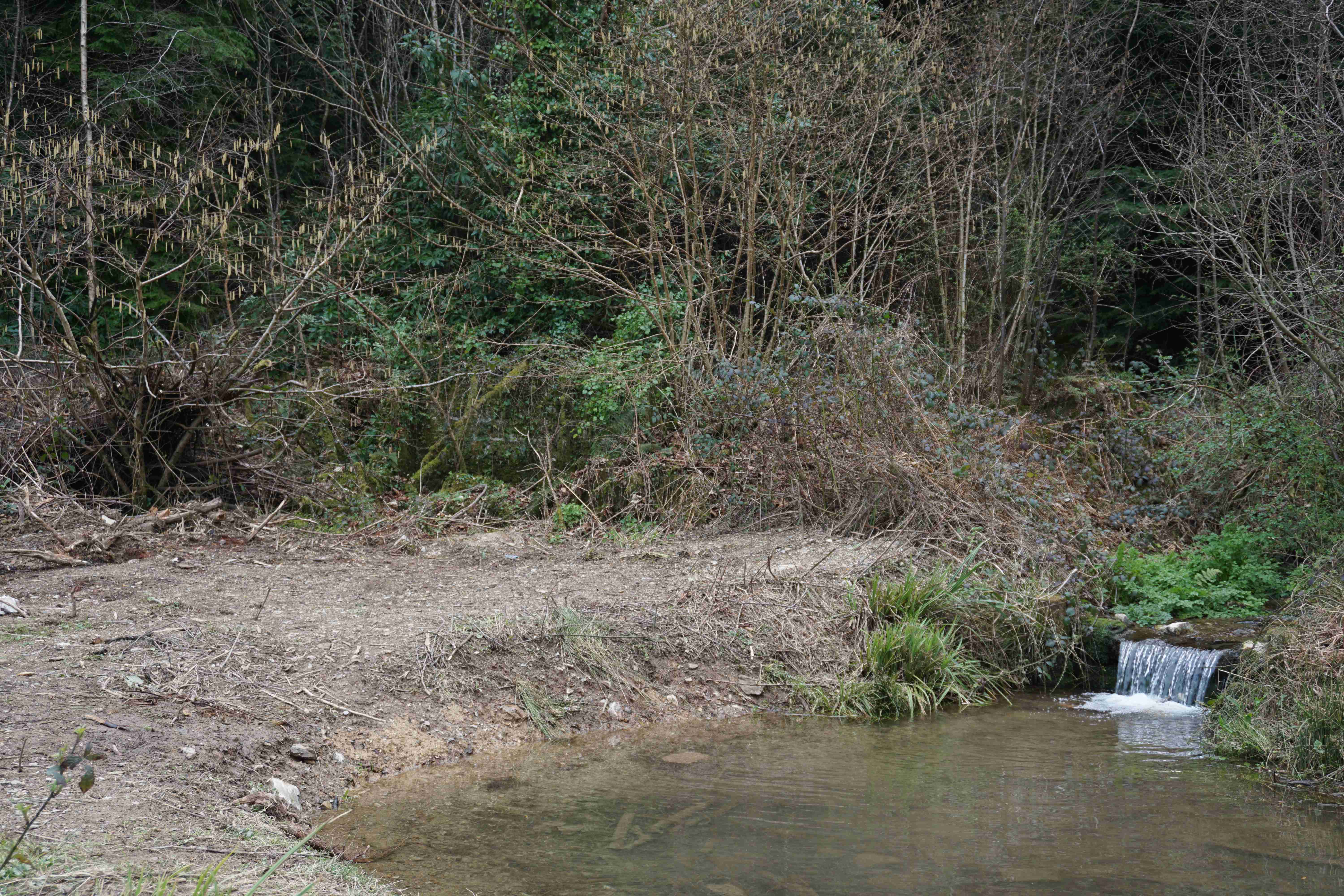
There is a large plug hole or gunnis, now closed over, in an area where there was some open-cast mining. This is visible on the hill towards Bodardle Farm (SX098612 or ///remainder.prestige.crouch ). Pictured below, it should be approached with caution. Potholers have surveyed what remains inside the hill and their video can be seen at https://www.youtube.com/watch?v=KzmZxWJYGiM (opens in a new window).